Make instant geotagged and orientated pictures and view them at Google Earth!
Make instant geotagged and orientated pictures and view them at Google Earth.
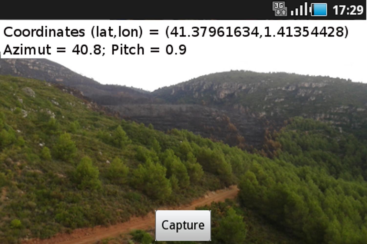
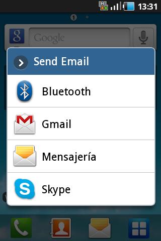
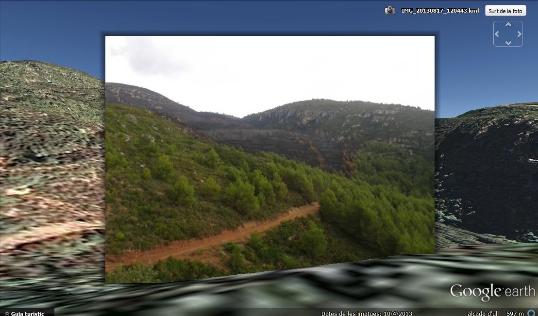
Kaml makes a geotagged picture, which can be sent by e-mail and visualized with Google Earth, at the same location and view orientation where the picture was taken. Kaml generates and sends two files, a .JPG one with the picture and a .KML one with the geographic coordinates and view angles.
The geographic coordinates are obtained from the GPS, so that before open Kaml you must activate the GPS. Once the coordinates appear on the screen you are ready to take the geotagged picture. The two generated files (.JPG and .KML) are stored at the picture's folder of the SD card (e.g. /Pictures/KmlCam).
Once you download the two files in a PC you just need to open the .KML one with Google Earth, and you “fly” to the picture location and you see the shot you took overlapped with the 3D Google image terrain.
Kaml is perfect for your trips and hikes, or even to report to emergency services information about natural disasters such as forest fires, flooding or humanitarian crises.
Get free Primogems, Mora, Experience, and more with these November 2024 Genshin Impact codes, 5.1 livestream codes, and find out how to redeem active codes.
If you are bored with playing the vanilla version of Metaphor ReFantazio, you can check out these five mods.
Struggling with your submissions for Roblox's The Haunt event in 2024? Check out our guide on using Dress to Impress to create your captures!
Our walkthrough for Dragon Age: The Veilguard with some handy tips and tricks, with guides for puzzles, bosses, companions, equipment, romance, and more!
Which faction should you pick in Dragon Age: The Veilguard?
Looking for some bonus resources in Sea of Conquest: Pirate War? We’ve got you covered with these codes for the latest seafaring freebies.
On our website, you can easily download the latest version of Kaml - Camera for Google Earth! No registration and SMS required!